This three day geopark trip lets you experience nature up close and personal. Visit Mt. Chokai, which was recognized as a geopark, and stay at Chokai Sanso inn while enjoying a grand view of the mountain. Drive along the 35km Chokai Blueline sightseeing road and visit Shishigahana Marsh to see Japan’s largest beech tree, “King Agariko” and the strangely fascinating “Chokai marimo” moss. You’ll also see Tamasudare Falls, Tsuruma Pond, the Mototaki Fukuryusui Underflow, Juroku Rakan Iwa, Maruike Pond, Dohara Falls, and more on this trip that showcases the best of geoparks Mt. Chokai and Tobishima.
*Geoparks are natural parks that include several geological heritages, such as strata, rocks, volcanoes, and other geological features.
Itinerary
nights
days
1日目
01
Tamasudare Falls
This waterfall was said to me named by a Buddhist monk around 1,200 years ago and is Yamagata Prefecture’s highest point with a 63 meter drop. The giant waterfall is located in a quiet area surrounded by Japanese cedar trees that is popular for being a “power spot”. The walk to Tamasudare Falls from the parking lot is about 10 minutes.
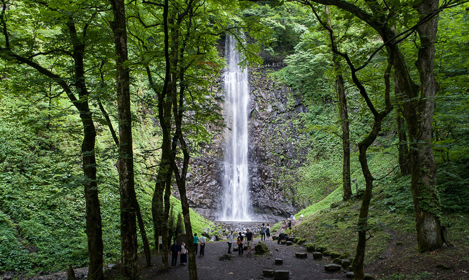
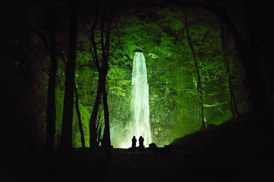
During the golden week holidays, the area is lit up with a light display, making the area even more dream-like.
Access: 40 minute drive from JR Sakata Station
Address: 52-1 Masuda, Sakata, Yamagata 999-8201
02
Tsuruma Pond
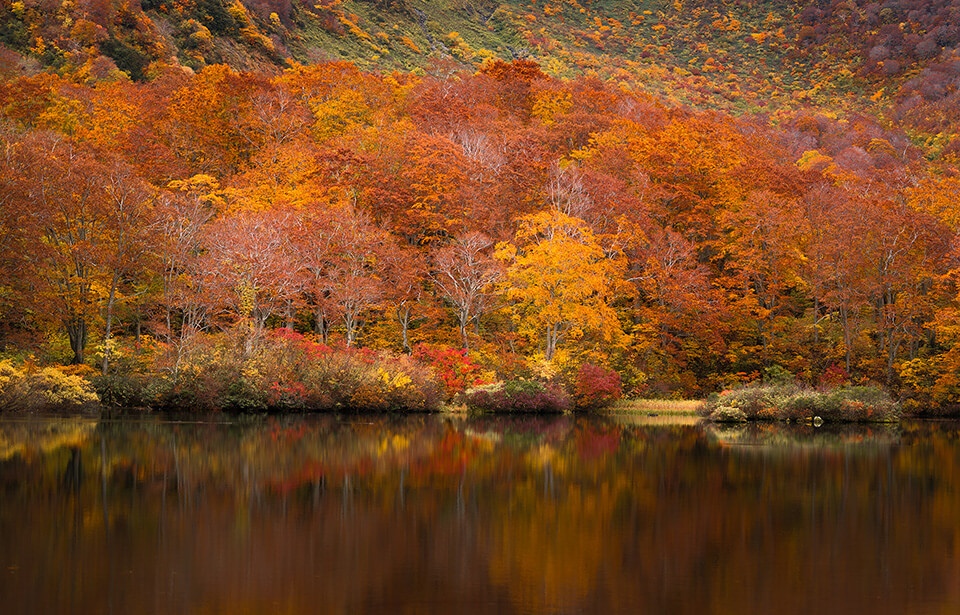
Beautiful crater lake Tsuruma Pond is known for its teardrop shape. It has been designated a natural monument by the prefectural government due to it being a breeding ground for the Japanese frog species, Rhacophorus arboreus. It’s also famous for its fresh green spring leaves and autumn foliage. The pond can be viewed from above at the “Nozoki” viewing spot along the Chokai Kogen Line road.
Access: Approximately 55 minute drive from JR Sakata Station
Address: Yunodai Kusatsu, Sakata, Yamagata 999-8207
03
Yunodai Hot Spring Chokai Sanso
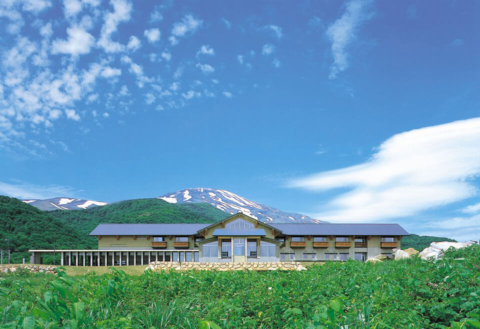
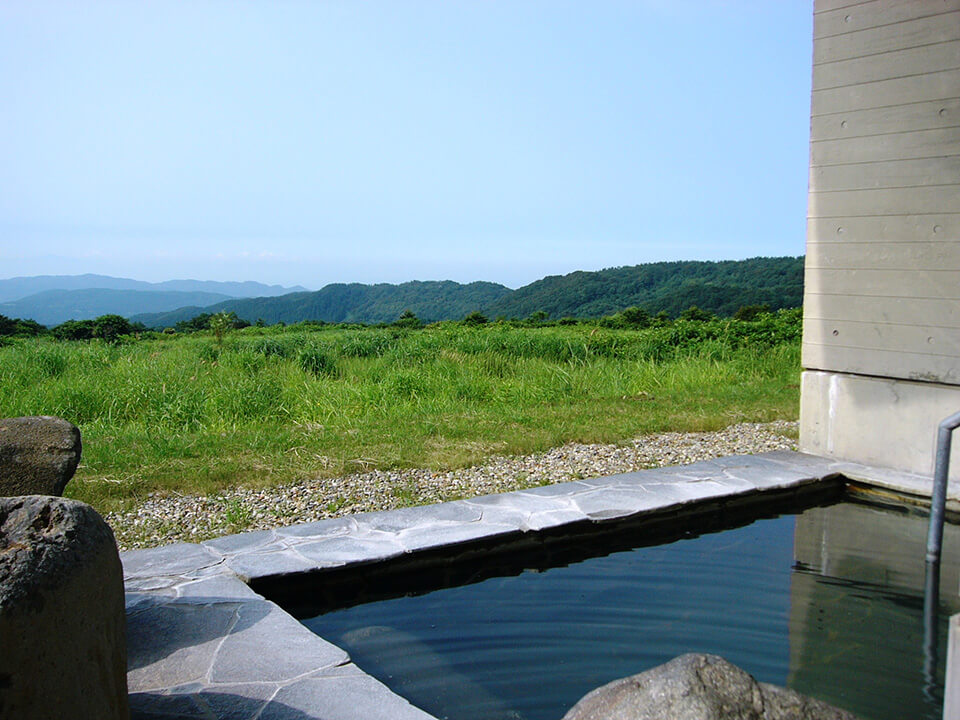
500 meters above sea level at the southern base of Mt. Chokai lies Yunodai Hot Spring’s “Chokai Sanso”, where you can view Chokai’s summit to the north, and Mt. Gassan and the Sea of Japan to the south. It’s also a great place to stay as a base camp if you’re climbing Mt. Chokai in the summer.
500 meters above sea level at the southern base of Mt. Chokai lies Yunodai Hot Spring’s “Chokai Sanso”, where you can view Chokai’s summit to the north, and Mt. Gassan and the Sea of Japan to the south. There are several large open air, indoor, and natural baths where you can enjoy wonderful views of the Shonai plains, Mt. Gassan, and the Sea of Japan. The seasonal local cuisine served at the inn adds to its appeal.
URL Click here for details
Address: Yunodai-66-1 Kusatsu, Sakata, Yamagata 999-8207
Day Two
01
Chokai Blue Line
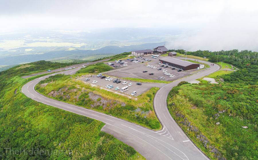
This 34.9 kilometer mountain road extends from Yamagata to Akita Prefecture. Driving up from the Sea of Japan coast to Mt. Chokai halfway point (a 1,150 meter climb), you can see Mt. Chokai’s snowy slopes, green leaves, or fall colors depending on the season you visit, as well as magnificent views of the Shonai plains and the Sea of Japan. Please be aware that the road is closed during the winter (early November to the end of April).
URL Click here for details
Open season: Late April-Late October
*Road closed at night during mid-May and mid-October. Weather conditions may affect the opening of the road.
02
Shishigahana Marsh
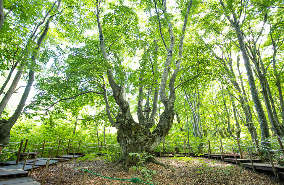
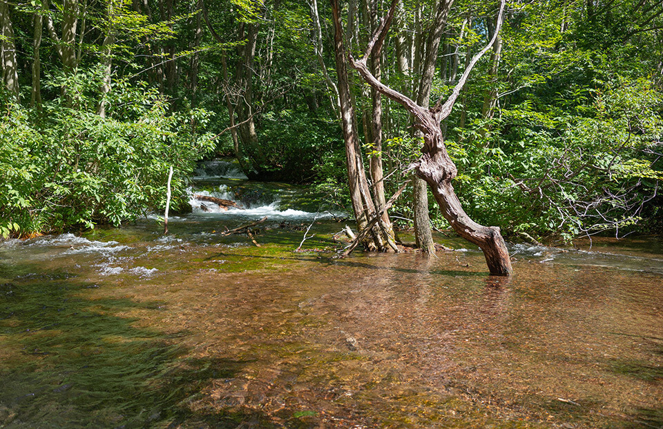
Within the wetlands of the Nakajimadai Recreation Forest are many mysterious big trees, such as Japan’s largest beech tree, King Agariko. No one knows for sure how the trees got their strange shapes, but many believe that it’s due to the trees growing on top of snow. If you walk about 40 minutes from Nakajimadai Recreation Forest, you’ll arrive at the spring pond “Detsubo”.
The wetlands here are home to some of the world’s rarest moss species that can only be found in Shishigahana, including the spherical “Chokai Marimo” which grow in the water.
Address: Nakajimadai National Forest, Yokooka, Kisakata-machi, Nikaho City, Akita Prefecture
03
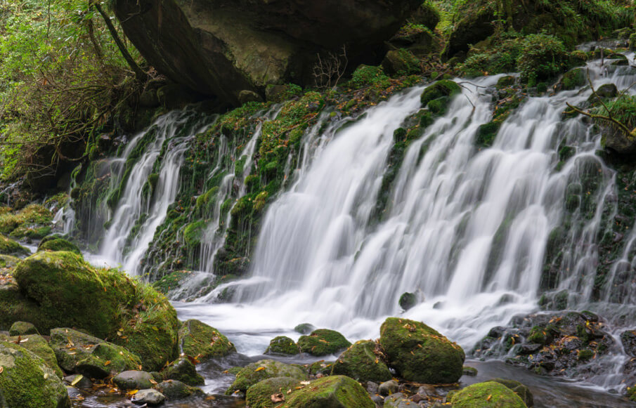
Mototaki Fukuryusui Underflow
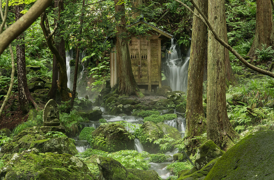
The Mototaki Fukuryusui Underflow is where Mt. Chokai’s subterranean waters pour out from a 30 meter wide rock surface. The green moss covering the rock’s surface and the white mist from the falls create an elegant scene and leaves you feeling the benefits of the negative ions in the air. The water has been selected as one of the Heisei Period Top 100.
04
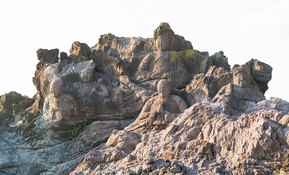
Juroku Rakan Iwa
There are 22 statues of noble figures, such as bodhisattva Manjushri, carved into the stones and rocks that protrude out of the Sea of Japan. There are many sidewalks along this path which allow you to view the rocks up close. The spot is also popular for viewing beautiful sunsets over the Sea of Japan. There is also a observatory deck located here.
URL Click here for details
Address: Nishidate Fukura, Yuza, Akumi District, Yamagata 999-8521
05
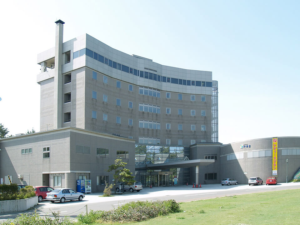
Yurari
At Chokai Hot Spring Yurari, you can watch the sun set into the Sea of Japan surrounded by green pine trees. Bathe in water straight from the source, and feast on fresh and local seafood at dinner time while resting your body from the day’s adventures. You can also take a stroll to the nearby “Nishihama Swimming Area” which was selected as one of the top hundred swimming areas in the country.
Day Three
01
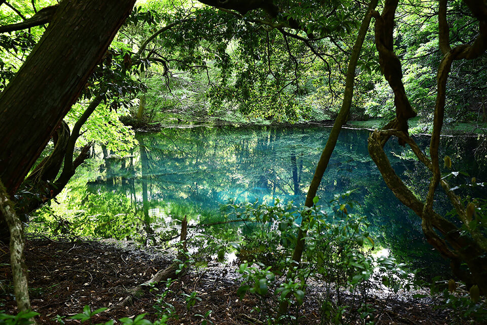
Maruike Pond
This popular and mysterious pond gets its sole source of water from Mt. Chokai’s underground streams. The pond itself is revered as a god, and is loved and respected by the locals. The emerald green water and hints of light shining through the plants and trees make this a very photogenic spot. The lighting depends on the time and season you visit, and changes the pond’s color.
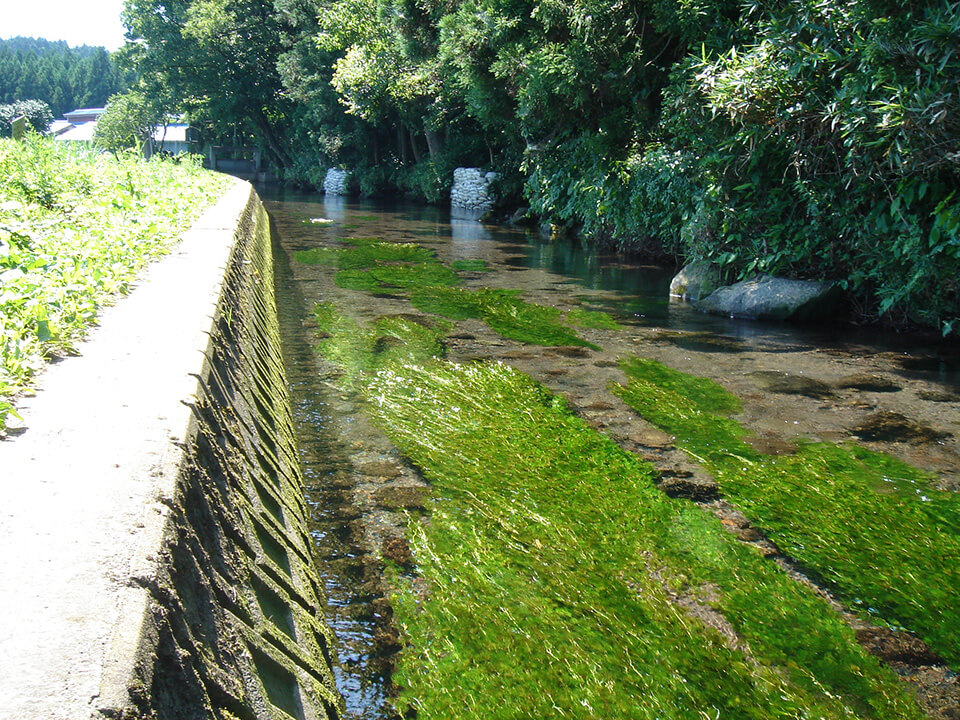
Located right next to Maruike Pond is the Ushiwatari River.
URL Click here for details
Address: Minowa Suguse Yuza, Akumi District, Yamagata 999-8525
Access: A 10 minute drive from JR Yuza Station. A one minute walk from the MINOWA Salmon Fishery Association.
02
Dohara Falls
Many people come here to draw water. Dohara’s name comes from the way Mt. Chokai’s subterranean streams gush out of the hillside. The falls don’t freeze even in winter, which means the waves of people coming to draw water from it never end. There are two waterfalls located next to each other, and it is said that each fall’s water has its own taste. Why not try both while you’re there?
URL Click here for details
Address: Yuza, Akumi District, Yamagata 999-8302
More info about Mt. Chokai and Tobishima Geopark:
URL Click here for details
Geo guide:
URL Click here for details